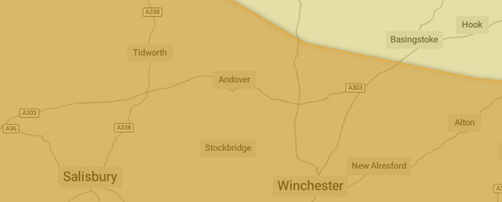
In Andover, Storm Isha is poised to unleash destructive winds and heavy rainfall, triggering multiple amber warnings in the midst of a ‘rare’ weather cycle. This marks the ninth named storm since September, expected to bring winds reaching up to 80mph. The Met Office cautions that the impact will be widespread, affecting everyone in the region.
Anticipated consequences encompass potential travel chaos, power cuts, and disruptions to mobile phone signals. The storm is expected to deposit nearly four inches of rain within a few hours, heightening the risk of localized flooding. Presently, eight flood warnings indicating expected flooding are in effect across England, complemented by 59 flood alerts suggesting possible flooding.
An Arctic blast earlier in the week plunged the country into sub-zero temperatures, but a shift to milder, stormy weather is imminent. The Met Office has issued ‘danger to life’ amber weather warnings for wind across northern and western England, Wales, Northern Ireland, and parts of Scotland from Sunday into Monday.

Expectations include the likelihood of power cuts, potential damage to buildings, and extended travel times with cancellations across road, rail, air, and ferry services.
The entire UK is under a rare, widespread storm warning, with heavy rain and strong winds affecting all regions. The Met Office underscores the rarity of such comprehensive coverage compared to previous storms. Authorities are advising the public to brace for travel disruptions, building damages, and flying debris, particularly along south-westerly winds of up to 80mph on exposed coasts and potential gusts of 60mph inland.
The heaviest downpours are expected on Sunday, with 30-50mm of rainfall in many areas and the potential for up to 80-100mm in hilly terrain. Motorists are urged to exercise caution due to potential water on roads, spray, fallen branches, and possible road blockages.
Warmer temperatures are anticipated to replace the recent cold spell, with highs of 13°C on Sunday. A yellow wind warning will follow from Tuesday afternoon to Wednesday midday, covering Northern Ireland, north Wales, northern England, and much of Scotland, with expectations of travel disruption, power cuts, building damage, and large waves.
Storm Isha marks the ninth named storm in the UK since September. Each storm is named alphabetically when it poses a risk to people. The active jet stream, influenced by cold Arctic air in North America, is contributing to the increased storm activity in the UK.
Chief Meteorologist Dan Suri emphasizes that Storm Isha will bring strong winds nationwide, particularly affecting regions covered by an Amber severe weather warning. The storm’s departure on Monday morning will usher in very strong winds in the far southeast of England. The disruptive weather pattern includes heavy rain, prompting additional warnings.
These warnings highlight the potential for travel disruptions, power cuts, and hazardous coastal conditions. The Energy Networks Association advises residents to prepare, seek assistance for those in need, and report any damaged power lines promptly. The association stresses the importance of staying clear of damaged power lines and calling the emergency number 105 or 999 in case of immediate danger to life.
Stay Updated With Andover Radio:


